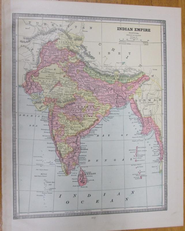
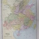
Map China Large Fold Out Crams 1883 Indian Empire


$45.00
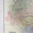
Offering this wonderful old 1883 Crams large fold out map of China on one side and a smaller map of the Indian Empire on the opposite side. On the reverse side of the fold out side is a smaller map of Indian Empire, and on the other side is text only with title line "KEY TO VIEW OF HOLY LAND". This map was engraved by George F Cram copyright in 1883, and printed by Henry S Stebbins, Chicago. These individual maps do not have the date on them but were part of Cram's Unrivaled Family Atlas, dated 1883, these maps are not reproductions but are authentic, copyright 1883. The size of the actual large fold out measures 14 inches x 11.5 inches from printed border frame to border frame, has center fold. The Indian Empire map is 11.6 x 9.0" with no fold line. Good++ condition, on the Indian Empire map, and on the China map, with no holes or tears or stains. Very nicely detailed, excellent colors; mat and frame this handsome piece of history for your home or office or an antique gift!


