Antique Map Puerto Rico British Columbia 1906


$18.00
Quantity available: 1
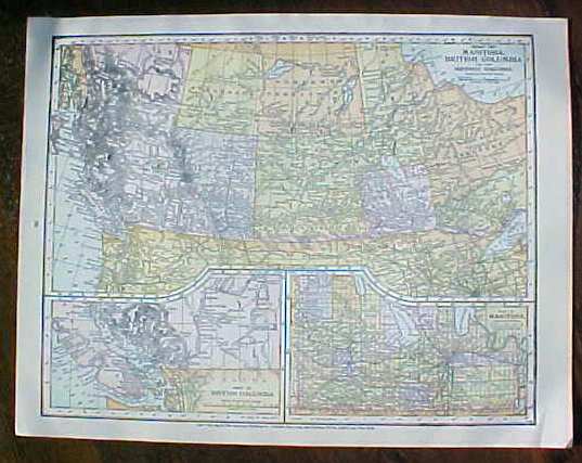
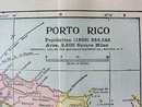
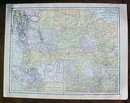
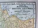
Offering this nice old map of the Island of Porto (Puerto) Rico and the country of Palestine on one side and the Canadian provinces of British Columbia, Saskatchewan, Manitoba and more on the other side, this map comes from the Peerless Twentieth Century Pictorial Gazetteer. This map was published / printed by Crowell Publishing Co, New York, 1906, copyright date on map is 1899 - this is an authentic map from 1906 - not a reproduction. Measures 10 1/2 inches tall x 13 1/2 inches wide, fine condition, no holes or tears. Wonderful colors and details. These old maps are excellent for framing. A handsome piece of history for your home or office!
Great Expectations Antiques
Caldwell, Ohio
Dealer accepts: Cash, Check, Money Order, PayPal
Shipping: $7.50

